Territographie

Collection chapelles rurales - Position d'un édifice
Rougiers (83) - chapelle Sainte-Catherine
--> chapelles.provence.free.fr
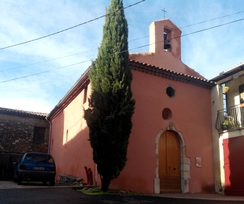
vue en 2016
© UMR CNRS/MCC 3495 MAP
--> chapelles.provence.free.fr
vue en 2016
© UMR CNRS/MCC 3495 MAP